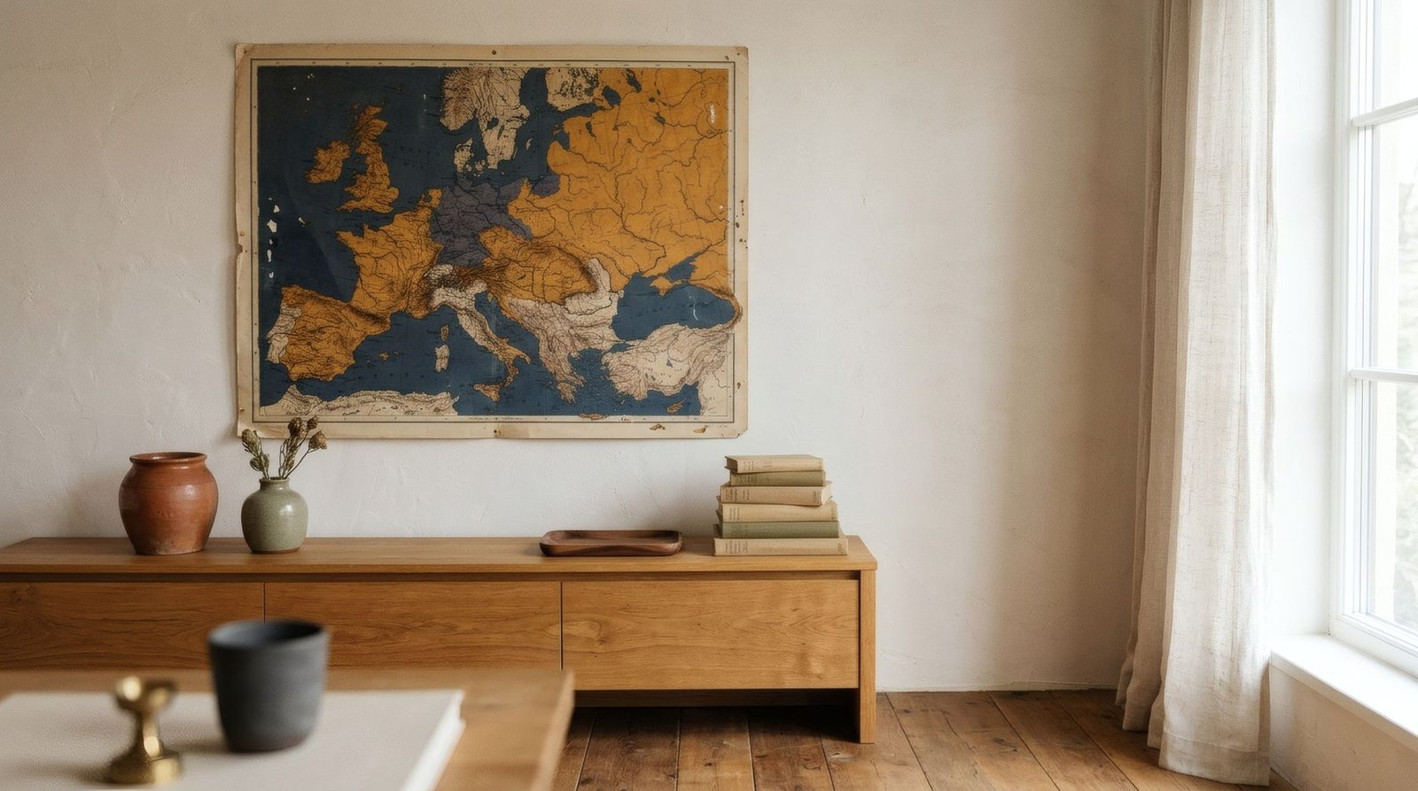
An antique map is a strange and fascinating image. It shows a world that no longer exists as it was drawn: uncertain coastlines, territories with forgotten names, oceans full of ships and sea monsters, cartouches decorated with allegorical figures. It is at once a scientific document, a work of art and a record of how an era imagined the world. Perhaps that is why vintage maps have become one of the best-loved images in interiors. But, as with other historic images, it is worth knowing something of their history and, above all, telling apart an original map, a reproduction and an image merely inspired by them.
Picturing what cannot be seen whole
Making a map means trying to represent something no one can see all at once: a city, a coastline, a continent, the whole world. For centuries, cartographers combined observation, travellers’ accounts, mathematics and a good deal of imagination to fill the gaps.
In antiquity, the geographer Claudius Ptolemy, in Alexandria, compiled in his Geography the coordinates of thousands of places and methods for projecting the globe onto a flat surface. Rediscovered in Renaissance Europe, his work was hugely influential.
The Renaissance and the great voyages
With the voyages of exploration in the fifteenth and sixteenth centuries, the world known to Europeans changed radically, and maps with it. Spain and Portugal, central to many of those voyages, developed nautical charts of great strategic value. In Britain, too, mapmaking grew alongside trade and navigation.
In the Low Countries in the sixteenth century, cartographers such as Abraham Ortelius and Gerardus Mercator made a decisive leap. Ortelius published a uniformly formatted, bound collection of maps often considered one of the first modern atlases. Mercator developed the projection that bears his name, still widely used, though it distorts the size of regions near the poles. Later, workshops such as the Blaeu family’s in Amsterdam produced atlases of extraordinary beauty.
Why they are so beautiful
Antique maps have a beauty that goes beyond their function. They were engraved by hand, in copper or wood, with meticulous line work. Many were hand-coloured afterwards in soft watercolour washes marking territories and coasts. They featured decorated cartouches, compass roses, ornate scale bars, allegorical figures, ships and fantastical creatures at sea. They were tools of knowledge and objects of prestige at once.
Today, that blend of precision and fantasy, of fine lines and faded colours, of old lettering and ornament, is what makes them so appealing on a wall.
Original, reproduction, inspiration
It is worth being clear here.
An original antique map is a sheet printed in its own time from an engraved plate, often taken from an atlas. It can be quite valuable depending on its maker, rarity and condition. Be aware, too, that many antique maps were coloured long after printing, sometimes in the twentieth century, which affects their value. Buying originals means going to reputable specialists and caring for them properly.
A reproduction is a modern print made from an original or its digitisation. Many antique maps are in the public domain, as their makers died centuries ago, and numerous libraries and archives have released high-quality digitisations, some under open licences. Check each institution’s terms of use, though, since some allow free use and others set conditions on images they have digitised.
An inspired image is a contemporary work that borrows the look of maps, such as coastlines, grids and lettering, without reproducing a specific map.
And there is a separate case: modern maps, such as current Ordnance Survey maps, which are generally protected by their publishers’ copyright. They should not be reproduced without permission.
Bringing a map home
An antique map, or a reproduction, brings history, detail and a hint of travel nostalgia to a wall. It suits studies, libraries, entrance halls and corridors especially well, where it can be looked at closely and its details discovered.
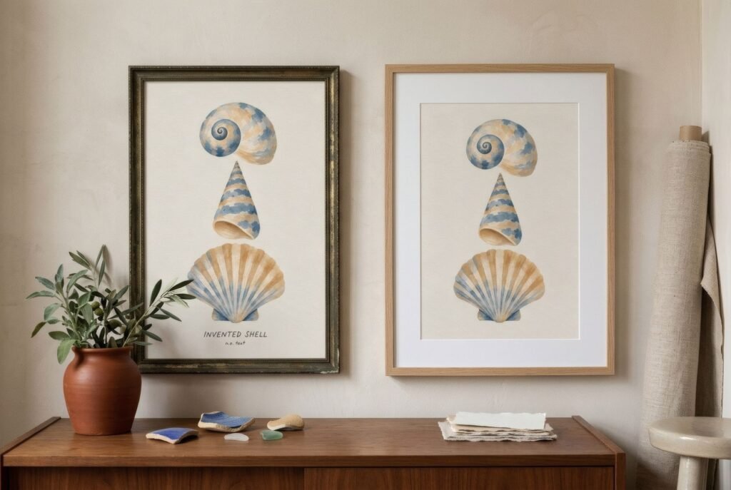
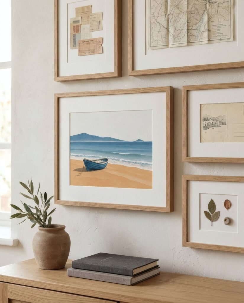
The loveliest choice is often a map with meaning: the city where you were born, the coast of childhood summers, the region your family comes from. A generous mount and a simple wooden or black frame give it presence and protection. Combined with other works, a shared palette, such as the ochres and faded blues of many old maps, helps it settle in.
Worlds drawn by hand
Antique maps remind us that the world has not always been seen as we see it now, and that picturing it was for centuries a mixture of science, art and imagination. Hanging one at home is hanging a piece of that history.
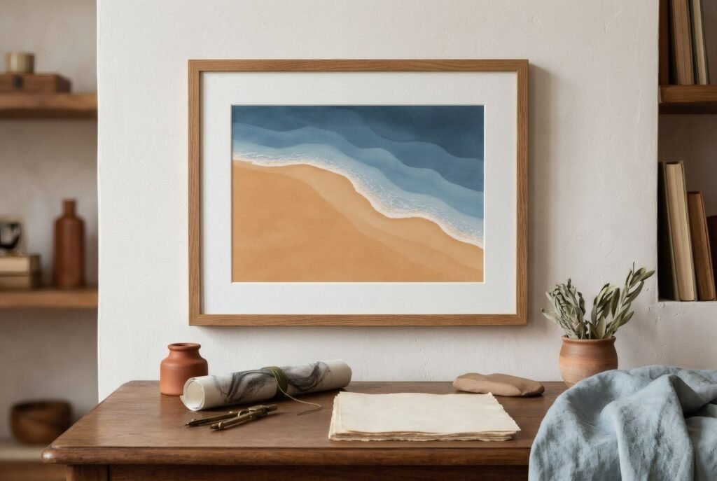
Bendíra’s prints are not maps, but some, such as those in the Coastline collection, with their tides, harbours and shorelines, share the same love of landscape seen from above and coasts drawn with calm.
Keep reading: Nature-Inspired Shapes in Contemporary Art, Typography in European Cultural Posters and The Appeal of Vintage Posters in Modern Interiors.